Descrizione
ITALIANO
Dopo aver parcheggiato l’auto iniziamo il nostro cammino. Prima di iniziare il percorso, ricordarsi che dai primi di giugno al 30 settembre, il parcheggio è a pagamento. Il fondo della pista, in questo primo tratto è ancora asfaltato. Dopo la pizzeria/ristorante chiusa, alla nostra destra, il fondo ora è sterrato. Sempre alla nostra destra è presente un pannello indicatore, stiamo percorrendo la Via Decia. Al bivio proseguiamo diritti. Il cammino sul fondo compatto risulta agevole e con poche difficoltà. Raggiungiamo un primo guado e superiamo il torrente utilizzando il ponticello alla nostra destra. Il ponticello è molto ben tenuto e ci facilita il cammino. All’incrocio, proseguiamo diritti, sul tratto dove compaiono dei piccoli sassi, che tuttavia non ci ostacolano. Raggiungiamo, sulla destra, un “Poiat”, per la produzione di carbone vegetale, che è crollato. La salita aumenta la sua pendenza e siamo agevolati dal fondo su sassi affogati nel cemento. Il secondo guado che raggiungiamo è facilmente superabile senza difficoltà. Proseguiamo il cammino nel bosco, ricco di abete bianco e rosso che ci accompagnano lungo il percorso. Raggiungiamo il bivio dal quale, svoltando a sinistra si raggiunge il rifugio Tagliaferri. Dopo avere esaminato il palo indicatore, proseguiamo sulla destra verso la nostra meta. Sulla destra è presente una struttura di pietre, chiamata “Regrana”, molto ben conservata. Il pannello indicatore, sempre sul lato destro descrive la sua funzione, di tipico forno per la cottura dei minerali ferrosi. Siamo arrivati nei pressi della nostra meta e vediamo una piccola area di sosta, con tavolo e panche. L’ultimo tratto è in salita su terreno ricco di pietre e di radici affioranti, bisogna prestare attenzione. Di fronte a noi compare la “Cascata del Vo”, in tutto il suo splendore. Dopo una sosta riprendiamo il cammino, verso il punto di partenza. Durante la discesa, ci fermiamo per ammirare in lontananza la parete nord della Presolana.
ENGLISH
After parking the car, we begin our hike. Before setting out, keep in mind that from early June through September 30, parking is subject to a fee. The trail surface in this first section is still paved. After passing the closed pizzeria/restaurant on our right, the surface becomes a dirt path. There is a signpost on our right indicating that we are on Via Decia. At the fork, we continue straight ahead. The path on the compact surface is easy to walk on and presents few difficulties. We reach the first ford and cross the stream using the small bridge on our right. The bridge is very well maintained and makes the walk easier. At the intersection, we continue straight ahead along the section where small stones appear, though they do not hinder our progress. On the right, we come to a collapsed “Poiat,” a structure used for producing charcoal. The slope becomes steeper, but the path is made easier by the surface of stones embedded in concrete. The second ford we reach is easily crossed without difficulty. We continue our walk through the forest, rich with silver and red fir trees that accompany us along the way. We reach the fork where, turning left, we’d reach the Tagliaferri mountain hut. After checking the signpost, we continue to the right toward our destination. On the right is a stone structure called “Regrana,” which is very well-preserved. The signpost, also on the right, describes its function as a typical furnace for smelting iron ores. We have arrived near our destination and see a small rest area with a table and benches. The final stretch is uphill over rocky terrain with exposed roots; caution is required. Before us appears the “Cascata del Vo” in all its splendor. After a short break, we resume our walk back toward the starting point. During the descent, we stop to admire the north face of Presolana in the distance.
Posizione
Parcheggio Vo, via Vo
46.01617° N, 10.14530° E
24020 Schilpario BG
Italia
Caratteristiche
Servizi
Altre informazioni
| Grado di accessibilità |
|---|
 Disabilità non motoria, percorso con qualche difficoltà
 |
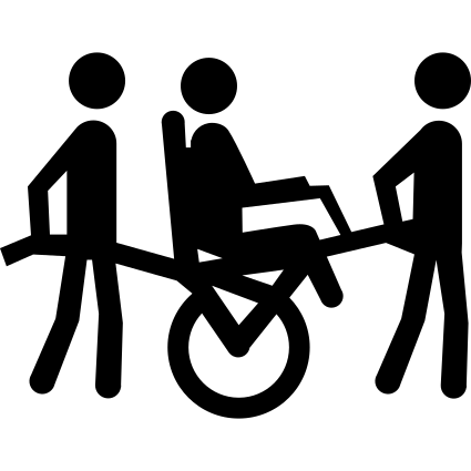 Disabilità motoria, con l’ausilio della Joëlette
 |
 Non vedenti con accompagnatore
 |